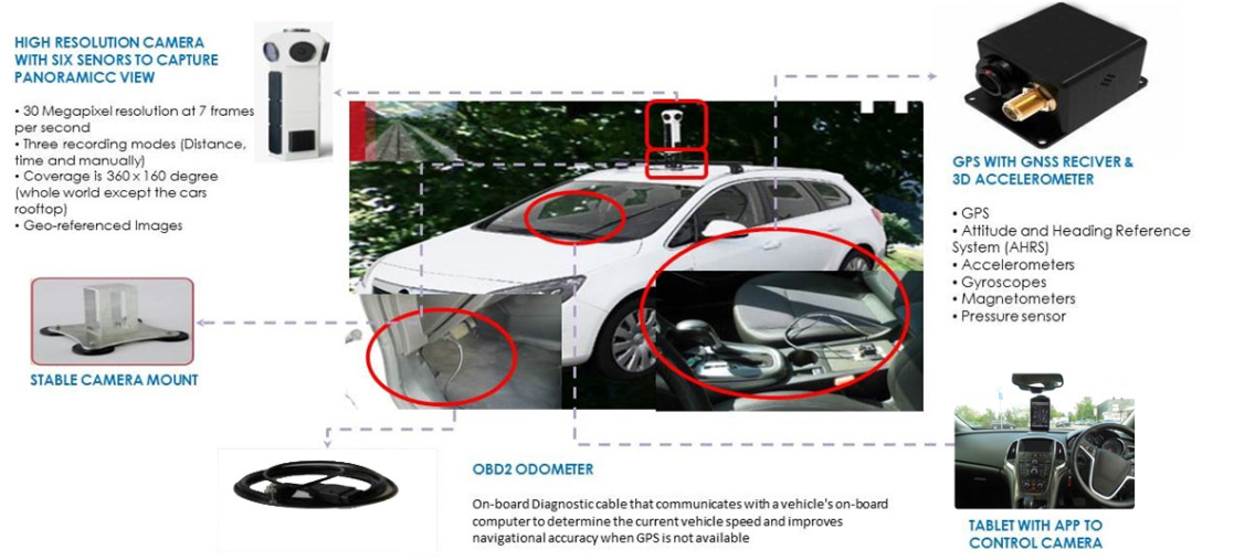
RealView Camera
RealView Camera system provides you with recording as well
as display via RealView Browser

RealView Survey
RealView surveys are customised services provided by MapmyIndia to provide three dimensional images, APIs of three dimensional images, highly accurate data. Following are few use cases of RealView surveys:
MapmyIndia will conduct surveys for the predefined areas marked by the client. Using RealView's highly advanced platform capture GPS referenced panaromas along the defined route. Capture streets, roads, motorways, railway tracks, plants, residential and commercial zones, each and everything for your business needs.

Real Estate Survey
Three dimensional visualisations of properties and its surroundings for real estate companies.

Retail Survey
Market analysis for retail companies to identify location of new outlet.

Utility Survey
Mapping and capturing the utilities.

Road Survey
Assessing road quality and assets such as light poles, signages etc. for Highway Authorities and Municipal Corporations.

Urban Planning
Urban planning for urban development authorities.

Marketing Survey
A great platform for planning and analysing marketing campaigns.
RealView Data
MapmyIndia provides custom services on RealView data using Geographic Information system (GIS)
and Photogrammetry techniques. It includes length, height and area of any feature in 3D environment
and premium data attributes Advanced Driver Assistance System (ADAS).


RealView Survey
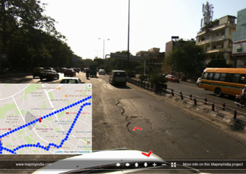
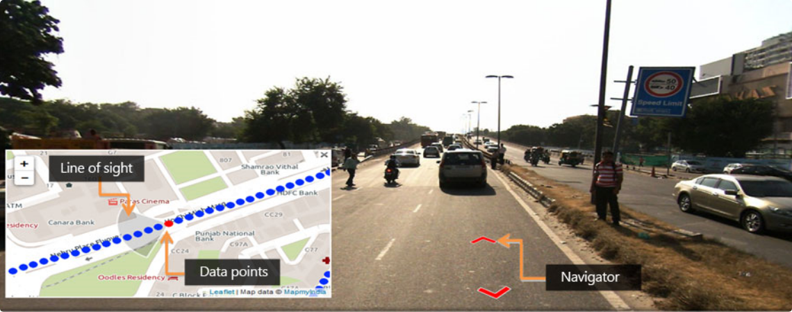
RealView Browser displays the panoramas that work using Geographic Information Systems (GIS) and
Photogrammetry. Browser is integrated with our exclusive MapmyIndia map plug in.


