- Products
Products
- Mapping APIs & SDKs

 Maps
Maps
SDKs for maps and traffic

 Personalisation SDK
Hyperlocal, personalised O2O marketing

 Search & Geocoding
APIs for search and discovery
-

 Routes & Navigation
APIs to solve complex routing problems
-
![]() Optimisation APIs & SDKs
Optimisation APIs & SDKs
Route planning & optimisation
-

 Navigation SDK
Connected embedded navigation

 RealView APIs (coming soon)
APIs for 360° panoramic images
- Analytics APIs
- Telematics APIs & SDKs
- MapmyIndia apps APIs & SDKs
- Advanced APIs & SDKs
- Maps
SDKs for maps and traffic
- Personalisation SDK
Hyperlocal, personalised O2O marketing
- Search &
Geocoding
APIs for search and discovery
- Routes & Navigation
APIs to solve complex routing problems
-
Navigation SDK
Connected embedded navigation
-
![]() Optimisation APIs & SDKs
Optimisation APIs & SDKs
Route planning & optimisation
- RealView APIs (coming soon)
APIs for 360° panoramic images
- Mapping APIs & SDKs
- Use Cases
- Documentation
- Demos
- Custom Solutions
- Customer Stories
The names you trust, trust MapmyIndia.
Serving industry leaders across big tech, corporates, automotive
and government authorities.


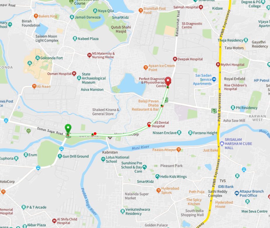
Routes & Navigation Stack

Navigation SDK
Add turn-by-turn navigation functionality to your mobile app.

Vehicle Routing Problem
Get a set of optimised routes for your fleet of vehicles to traverse and reach a given set of customers.

Drive Range Polygon
Creates the drive time polygons which determine how much time one will need to reach other locations in a specified time.

Car Routing
MapmyIndia Routing API for Passenger Vehicles (Cars, 4-wheelers, LMV).

Truck Routing
Mapmyindia Routing API for trucks and other heavy commercial vehicles.

Bike Routing
MapmyIndia Routing API for Two Wheelers (Bikes, Scooters).

Pedestrian Routing
MapmyIndia Routing API for Pedestrians (Walking).

Distance Matrix With Predictive ETA
Provides driving distance & time between two locations using a predictive ETA algorithm considering historical traffic conditions.

Snap To Road
Snap given GPS points snapped to the real-world geographic road network.

Public Transit Route Planning
To plan a route that involves multiple modes of transportation(e.g. BUS, METRO, RAIL, TRAM, etc.).
Vehicle Routing Problem
Get a set of optimised routes for your fleet of vehicles to
traverse and reach a given set of customers.
- Route planning and scheduling
- Optimise routes for transportation
- Reduce travel costs and time
- Maximise per vehicle utilisation
- Better customer service

Save Cost and Time

Less Carbon emission
Solutions
Utilising cutting-edge AI/ML-based methodologies to compute optimal routes - MapmyIndia VRP solutions.
We not only minimise the total transportation distances/time but also solve for determining the optimal
order of delivery of items to a number of locations with a fleet of vehicles.
- Capacitated Vehicle Routing Problem (CVRP) The vehicles have a limited carrying capacity of the goods that must be delivered. It can be single or multi quantity dimensions(e.g. volume, weight, number of packets, etc.)
- Vehicle Routing Problem with Profits/Priority (VRPP) A maximization problem where it is not mandatory to visit all customers and to visit customers maximizing the sum of collected profits while respecting a vehicle time limit.
- Vehicle Routing Problem with Time Windows (VRPTW) The delivery locations have time windows within which the deliveries (or visits) must be made.
- Vehicle Routing Problem with Skill Sets List of vehicle skill(s). A delivery/pickup can only be served by the vehicle if its required skills are a subset of vehicle skills.
Drive Range Polygon
Creates the drive time polygons which determine how much time one will need to reach other locations in a specified amount of time
- Real-time trip assignment Solve problems due to aerial distance-based assignment of trips by using real driving range calculations provided by Isopolygon API.
- EV Range Calculation EV Range Anxiety relieved by calculating dynamic distance-to-empty in all directions from the vehicle’s location by using Isopolygon API to find distance or time based driving ranges.
- Property search Limit search results according to the users’ preferred commute times to work
- Site Selection: New office/ store location Site Selection is always a big decision for a company. Isopolygon API helps to choose an attractive location for new sites towards satisfying the needs of the existing employees/customers.
- Delivery/ Catchment Area Analysis Isopolygon API can help to define the delivery area for an outlet OR check how many potential customers are living in the bounded area of a new site.
Car Routing
MapmyIndia Routing API for Passenger Vehicles (Cars, 4-wheelers, LMV)
- Provides optimal and alternate routes between two or more locations
- Provides accurate turn-by-turn guidance throughout the route
- Includes traffic delays to derive ETAs in route calculations
- Computes the route and predicts travel time information as per departure/arrival time
- Includes real time alerts about speed cameras, hazards, road closures and other hyperlocal events
- Includes directions from countries across the globe
- Exclusions are available for toll, motorway and ferries
Truck Routing
Mapmyindia Routing API for trucks and other heavy commercial vehicles
- Takes vehicle attributes into consideration (like height, weight, width, length, axle load) while calculating the route
- Avoids narrow roads in route calculation to avoid heavy vehicles from getting stuck
- Supports legal restrictions for trucks like speed limits, highway restrictions, hazmat restrictions, etc.
- Includes traffic delays to derive ETAs in route calculations
- Exclusions are available for toll, motorway and ferries
Bike Routing
MapmyIndia Routing API for Two Wheelers (Bikes, Scooters)
- Includes expressway/ controlled highway restrictions for bikers in route calculations e.g. Two-wheelers are not allowed on Eastern Peripheral Expressway (Delhi)
- Avoids traffic congestions by using minor roads in route calculation
- Two-wheeler specific traffic flow/ speed profiles are used for ETA calculations
- Includes traffic delays to derive ETAs in route calculations
- Includes real-time road closures in route calculation
Pedestrian Routing
MapmyIndia Routing API for Pedestrians (Walking)
- Use derived walking speed profiles for ETA calculations
- Expressways are excluded in pedestrian routing for safety aspect
- Includes walkways, foot over bridges, pedestrian subways, etc. in route calculation
- Ignores driving restrictions like one way, turn restrictions, etc. in route planning
- Higher road classes are carefully penalised to prefer walkways and residential lanes in route planning
- Avoids private roads for through routing
Public Transit Route Planning
To plan a route that involves multiple modes of transportation, powered by
MapmyIndia’s detailed and comprehensive transit routing dataset
- Travel Modes Choose between different modes of transportation (Metro, Bus, Train, Transit, Walk and their combinations)
- Filter Itineraries/ Routes You can filter out the best alternate routes or see all possible routes. You can also limit the route to a certain number.
- Scheduler Plan your departure or arrival on a future or past date/ time
- Route Preference And Restrictions YYou can set preferences for any route and can also ban routes
Snap To Road
Snap given GPS points snapped to the real-world geographic road network
- Snap-To-Road API snaps a set of given GPS points to the road network in the most plausible way
- GPS points are collected along the route and return a similar set of corrected and aligned data with the points matched to the road network
- Valuable when tracking assets and for data analytics of paths traversed by vehicles, people or fleet


There's so much that Mappls MapmyIndia can do for your enterprise or individual requirements. Explore our website to learn more or request a callback/email if you'd like us to connect with you.