
Product release
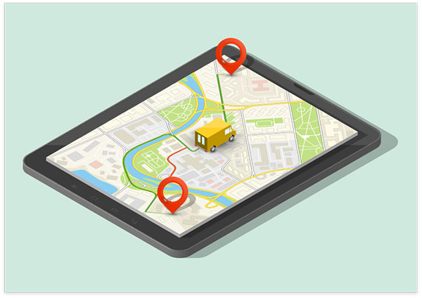
Boost your businesses with Mappls’ industry-leading optimisation APIs and SDKs to bring the best and most efficient ways to deliver goods, save time and increase profits.
or
Boost your businesses with Mappls’ industry-leading optimisation APIs and SDKs to bring the best and most efficient ways to deliver goods, save time and increase profits.


Geo-Analytics APIs are location-based APIs, which are capable of combining with various analytical tools to provide location intelligence and thus offer seamless business analytics at your fingertips for smart decision-making.
Mappls Geo-Analytics allows you to make well-informed predictions about future opportunities of your business:
-where to invest in the future?
-where are the risk prone areas?
-where are the growth opportunities geographically?
across multiple sectors like Banking, Real Estate, FMCG etc.
Our Geo-Analytics API can integrate with client data as additional layers and can empower your business analytical skills by displaying spatial pattern to analyse markets and develop predictive models that help you decide where to aim your business, how to stay ahead of your competitors and have a competitive advantage.
In case you are about to enter in an established market (a red ocean) , through Mappls Geo-Analytics you can analyse expected competitive pressure on you brand and even target areas where your existing competitors are weaker.
Any company, large or small, Mappls' Geo-Analytics APIs can provide visibility of
- where their business is coming from,
- which business territories are over or under performing,
- where potential high-growth areas are, and
- other useful data points such as demographics-based queries.
Infrastructure and environment all influence business outcomes: Mappls Geo-Analytics APIs provides valuable insight along with other location data through Mappls' comprehensive stack of APIs.

Ride App
Search Itinerary

Store Spotter
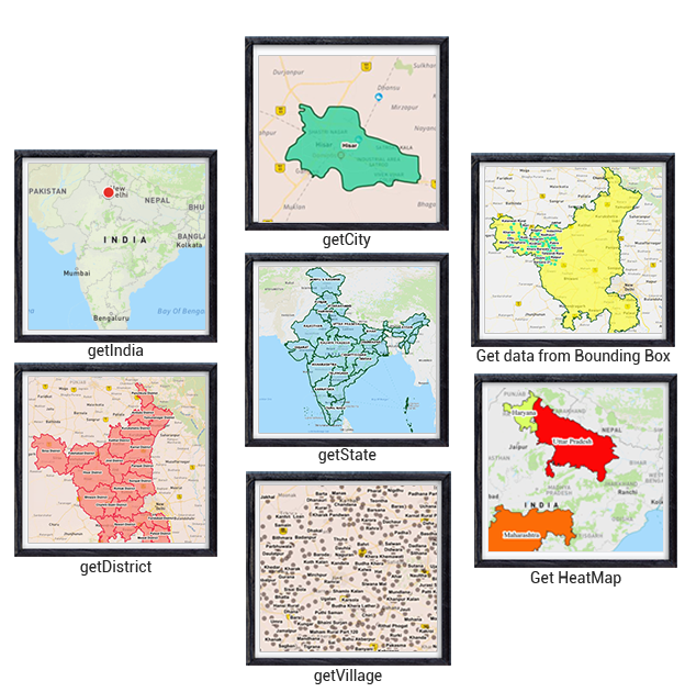
Get State boundaries overlays as a layer
Get District boundaries overlays as a layer
Get City boundaries overlays as a layer
Get Ward boundaries overlays as a layer
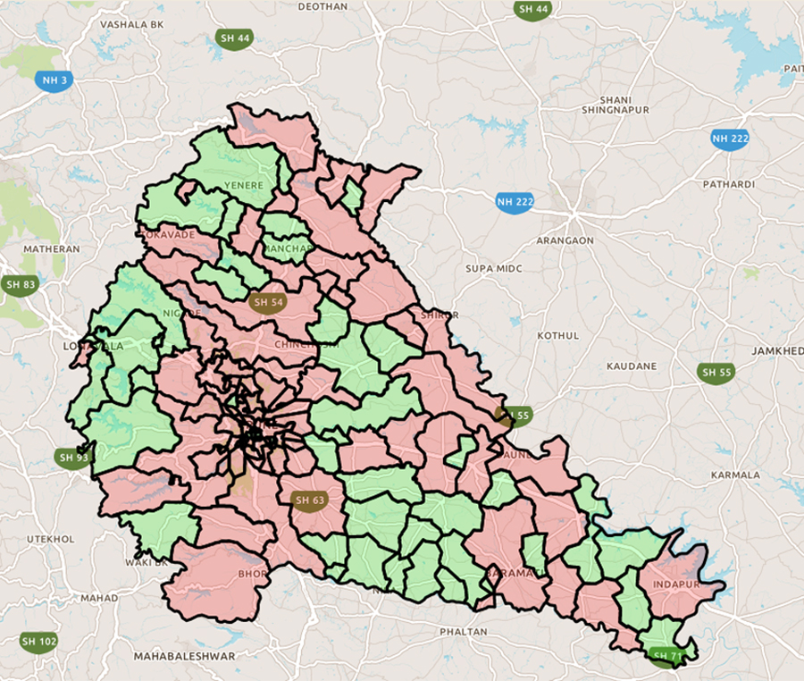
Get Block boundaries overlays as a layer